Start of walk: Grenitote car park
Distance: 10km/6 mile loop
Ascent: flat! Time Taken: 3 hours.
Star Grading: 5 (especially on a sunny day winter or summer)
The Outer Hebrides must have some of the most glorious, unspoiled beaches in the world and North Uist’s best hold their own to any in the archipelago.
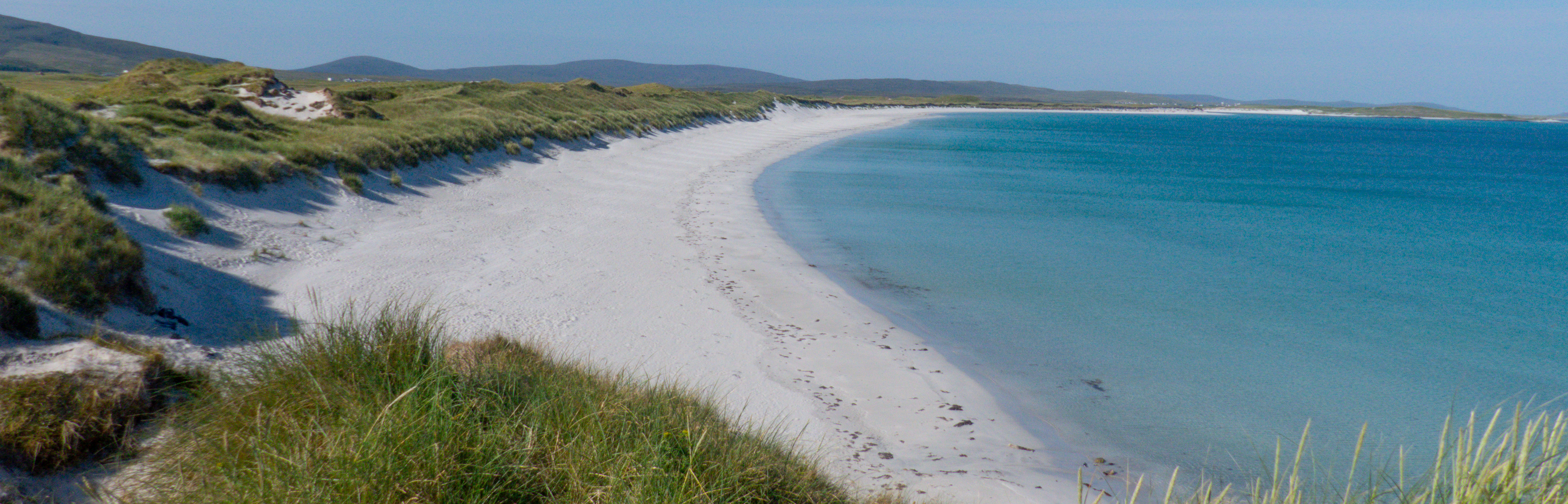
Whiter than those on Harris (clotted cream in colour, also truly fantastic) and without the seaweed which often mars South Uist’s 20 miles of sand, on a sunny day winter or summer, I can think of few places I’d rather be than strolling a North Uist beach.Above is Hornish beach with its adjacent twin below, Lingeigh.


Early July, we’d had very disappointing weather on a family week on the Isle of Harris though it didn’t stop us getting out with my two wee grandsons. Waterproofs and wellies, sand and sea, a typical west coast holiday and still great fun.Mind over matter!
Moorcroft Campsite
But our luck changed when we headed south to North Uist for a short break of our own, pitching our tent at pretty Moorcroft Campsite near Grimsay.This is an island between North and South Uist, joined to both by causeway.The site itself is small and immaculately kept.It’s as close to the sea as it’s possible to get and has a lovely outlook across the islet strewn coast.Great sunsets too. Our tent is the blue one…

We’d been impressed with this place when doing the Hebridean Way long distance hike last year. It sits opposite the start of a Way section, so it was a handy base.
My Grimsay Heritage
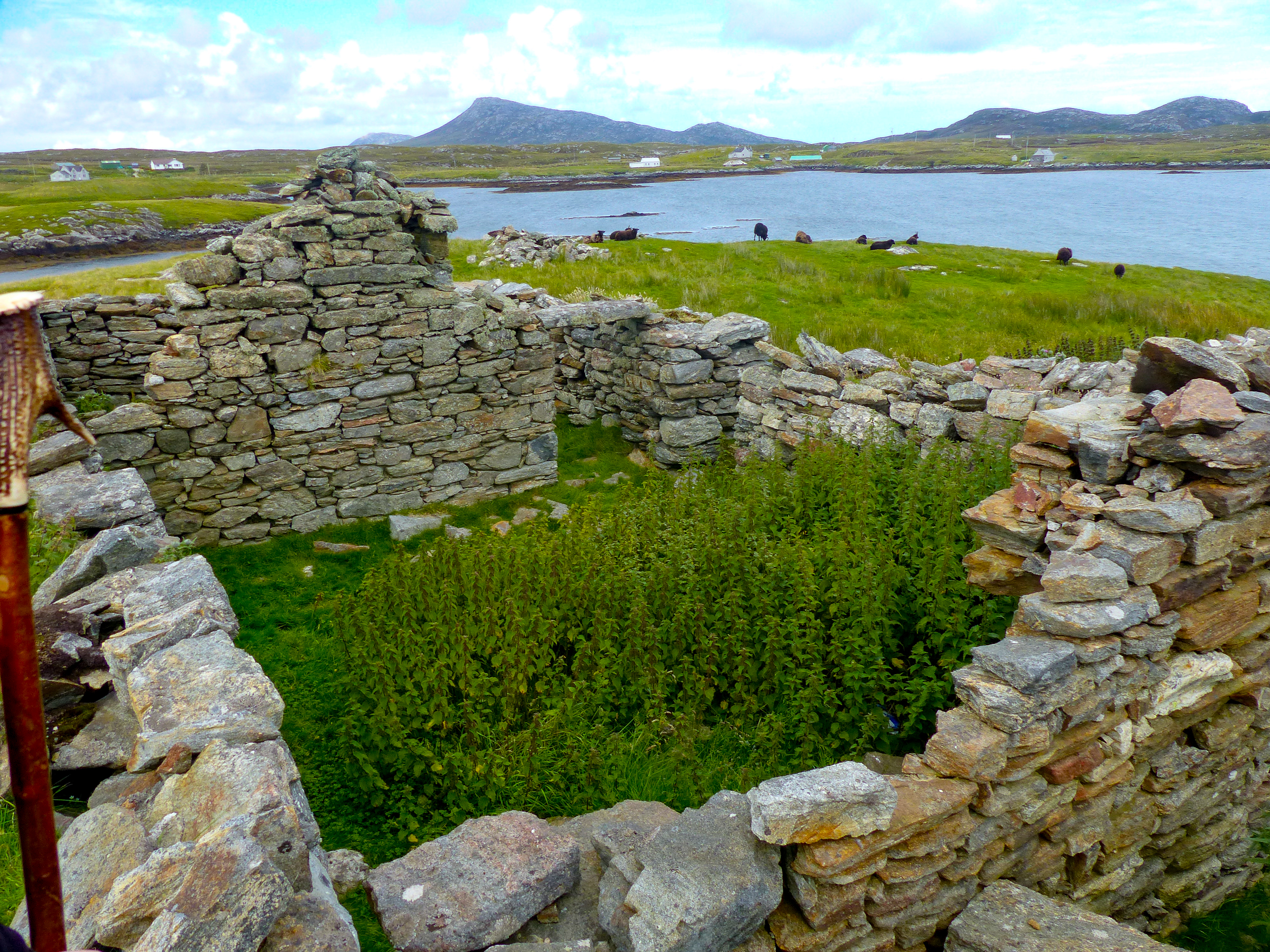
I’m a fan of Grimsay not only because it’s beautiful with myriad little bays and inlets but it’s where my mother’s family came from and where she herself spent a fair amount of her youth, looking after her grandfather.The remains of our family croft on Grimsay’s east coast at Scotvin, built by my great grandfather. Hebridean black sheep, a very ancient breed, still graze here.

Grenitote and Traigh Iar/Udal
With the sun re-appearing and the North Uist landscape looking its best, I was really keen to do a loop of glorious Traigh Iar (which translates from the Gaelic as West Beach) and Udal. This area also has the remains of several Neolithic stone houses as well as a Viking village plus a 17th century settlement now covered in sand. In all, an 8,000 year timespan! Chris’s brother worked on the dig nearly 60 years ago as a student but the remoteness of the sight and presumably lack of money, means it has lain largely untouched since then.
A 25 min drive from Moorcroft took us to Grenitote and the small parking area at the start of this 10km loop. The tide was well out which I was delighted about as it meant our return would be across the lagoon sands.
Off we set, lightly clad with an incredible forecast of mostly full sun promised for several days ahead. Astonishing for this part of the world but extremely welcome after the strange low mist and mizzle of the previous week.
The beautiful Harris hills were clear to the north though the walk heads south initially across the wildflower strewn machair, using a good farm track.

Lapwings swooped as we passed, clearly still guarding chicks in the long grass.Marauding gulls posed the greatest threat, ever vigilant in case a vulnerable youngster broke cover.We passed by a farm outbuilding before the path turned west and headed for the dunes.
Reaching the beach
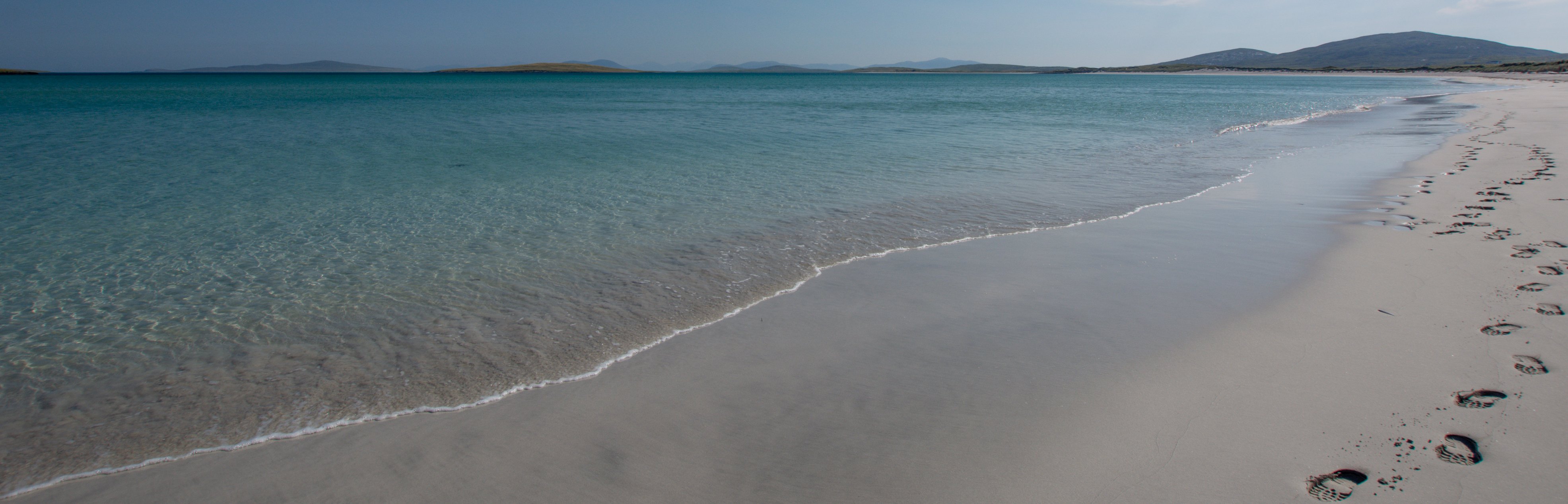
I love that moment, following an obvious way through the marram grass, when we finally arrive on the literally dazzling white sands of North Uist’s beaches.Traigh Iar must be one of the loveliest, breath taking actually, a long crescent of shell sand that, with the pale turquoise seas, looked more like a South Sea atoll than an Outer Hebridean island.

There wasn’t a soul around , there never seems to be on this walk.We sat on the sand for a while and Chris fired up the Jet-boil for an enjoyable cuppa in a place that today, looked like paradise.


Walking down to the sea, we made our way along the surf line, me in my bare feet, enjoying the chilly water. The next day we visited the neighbouring Isle of Berneray’s stunning beach and did manage quite a bit of swimming, albeit with wetsuits on! Some photos below of Berneray’s equally amazing west beach…


My younger son and daughter in law are big cold water swimming fans and I’ve joined them on a few occasions but it’s fairly brutal in our icy North Atlantic waters, even with the so called ‘warming’ effects of the Gulf Stream.Wetsuits are the thing!


We thought about heading out to the little grassy rise at the end of Traigh Iar, a spot we wild camped on for a few nights many years ago but decided to press on to the Udal area behind the beach.

Inland to Udal and the Wheelhouse remains
We knew to look out for a lower section of the dunes which would allow us to easily access the machair stretch that leads out to Udal.The route took us initially to a view over the next beach where someone had also installed a very nice blue bench!

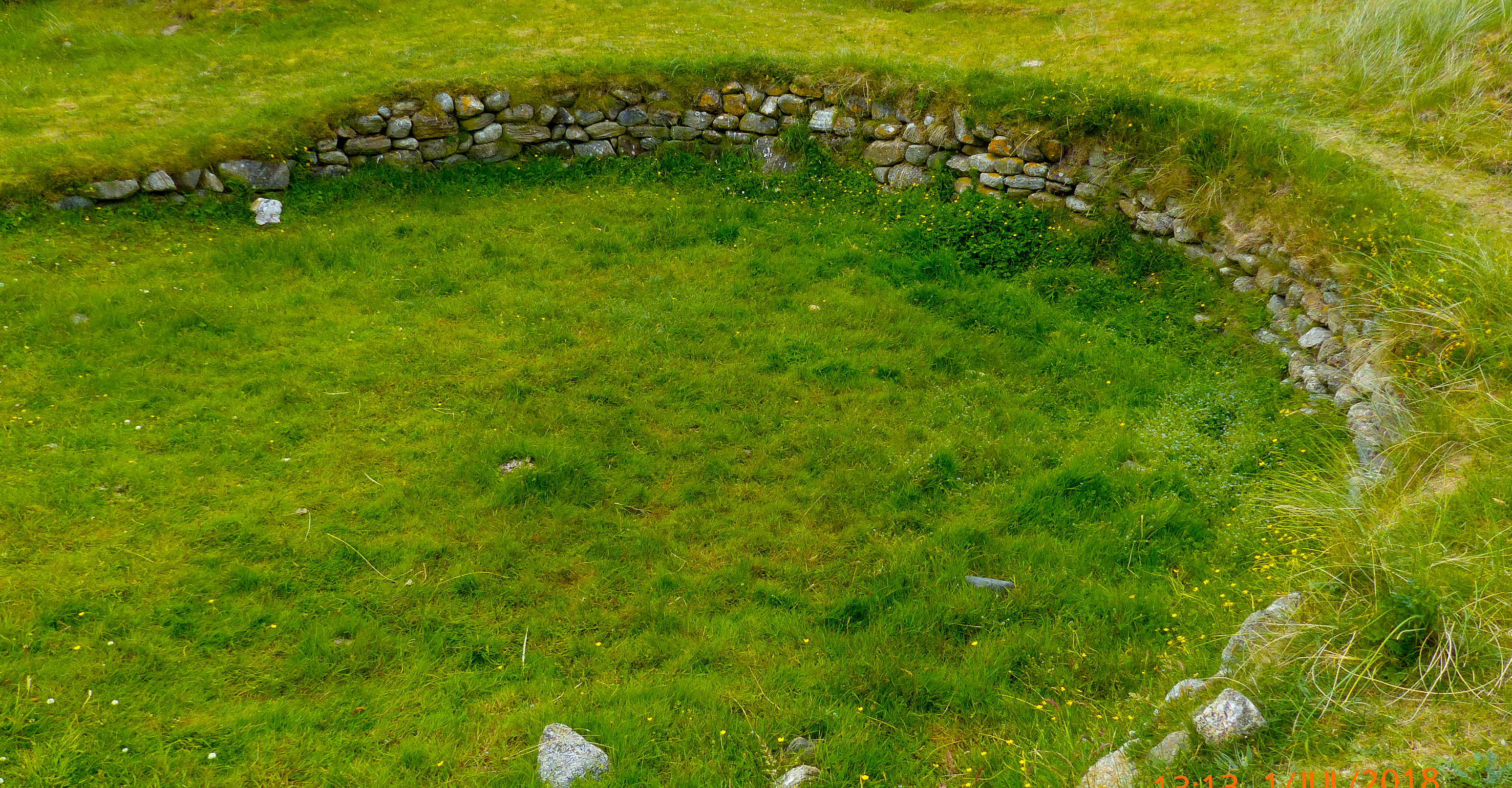
Then we picked up the track that passed below what may have been wheelhouses, some of the remaining stones visible on top of grassy mounds. The structures are fenced off with a notice saying they are unsafe. There are also the remains of shell middens in exposed dune areas.It is difficult these days to make out much of the structures.There are other wheelhouses on the Uists – a better photo of the remains of one on South Uist, around 2,000 years old…
Leaving the site, we followed the farm track past swathes of buttercups and daisies until we reached another break in the dunes.This was another stunning entrance to powdery white sand framed by shapely Uist hills of ….across a lagoon like opalescent sea.A gorgeous spot.
The Lagoon beach and an Arctic Tern attack

However, in July this beach – which we’d now remembered – is also an Arctic Tern nesting area and one or two began to appear , strangely out of the machair, rising like little sentinels from the grass. I assume they were literally sentries , ready to defend the nesting grounds.I think I would take Skuas any day (with a walking pole to wave above my head) than these arrow-beaked , shrieking albeit very beautiful birds which soon began to swoop down on our heads.They are quite frightening in this state! Neither of us had walking poles to wave around our heads to keep them away so we headed inland immediately until at last, they left us alone.Two minutes later we came across a sign warning that it was an Arctic Tern nesting area and to avoid disturbing the birds.This sign would have been more useful at the car park I would say!


Anyway, we were soon able to slip back onto the sands of the estuary section of the beach which is firm to walk on but without the sheer beauty of where we had been.More cloud had come over too but really, we couldn’t complain about the weather! An easy stroll of 20 mins or so and we were back at the car park, no harm done to terns or ourselves.
This really is a stunning walk on a sunny day with plenty of interest and a great introduction to the sheer beauty of North Uist’s west coast.
For more on the Uists and island walks: WALKS ON NORTH UIST (North Lee)


